Security checks are a known necessity for air travelers; everyone knows that screening luggage and checking passengers is essential and useful. After all, at an altitude of 10,000 meters, there is no room for dangerous objects or substances on board.
But it’s not just what goes on board that needs to be secured; the aircraft themselves must also be protected against tampering or unauthorized access. So, while they are parked at the airport, it is crucial to ensure that no one can get on or into the aircraft unnoticed.
Technology that supports security personnel
This is no easy task: the aircraft are parked in large areas of the airport, often out of sight of security guards or ground staff. Moreover, security personnel cannot walk the grounds around the clock, as this would be too high a cost factor. The solution is a technology that helps staff secure the aircraft and ensures that no unauthorized person can tamper with the machines. This solution must work reliably in a wide range of weather and lighting conditions and provide flexible data to view aircraft of different sizes.
Alarm fatigue must be avoided
Technologies often used to support security personnel include cameras, radar, or thermal sensors. While surveillance cameras are a well-known and fairly inexpensive way to monitor the perimeter, they quickly reach their limits in low-light conditions and can also be manipulated. Radar sensors have no problem with weather and light but capture data too imprecisely to detect intruders reliably. Another option for securing parked aircraft is coaxial cables that are embedded in the ground and delineate the parking area. They trigger an alarm when people enter the parking lot and approach the plane, but they are costly and time-consuming to install. In addition, they can be triggered if, for example, a rabbit runs over the sensor.
These false alarms occur with all of the technologies mentioned above and are potentially dangerous because they can cause alarm fatigue among security personnel, which leads to the possibility that an alarm will no longer be taken seriously.
3D LiDAR data reliably detect intruders
The solution combining LiDAR technology and perception software can remedy this situation. LiDAR sensors capture their surroundings in 3D using lasers. This has significant advantages for safeguarding aircraft: the technology works reliably regardless of ambient light, i.e., day and night, as well as in all weather.
The three-dimensional nature of the captured data eliminates the possibility of deception; LiDAR sensors determine without a doubt whether an object is in the field of view or not. Based on the detection of objects, an alarm can be triggered should an intruder be detected. There is also the option to define the object size beyond which an alarm is to be triggered. Thus, small animals on the airport premises, such as birds, rabbits, or foxes, are not detected as intruders, and no alarm is triggered. This is an efficient way to prevent alarm fatigue among security personnel.
Perception software as the key to success
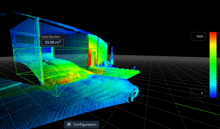
But what does the LiDAR-based solution for securing aircraft look like specifically? LiDAR sensors are mounted on existing infrastructure on airport property, such as lampposts or buildings, so they are in view of aircraft. The sensors now collect data by emitting laser pulses, which are reflected by objects in the field of view and picked up again by the sensor. This process happens hundreds of thousands of times per second as the laser beam is deflected onto the scene. This creates the so-called point cloud, consisting of only 3D data points.
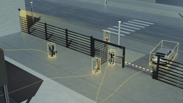
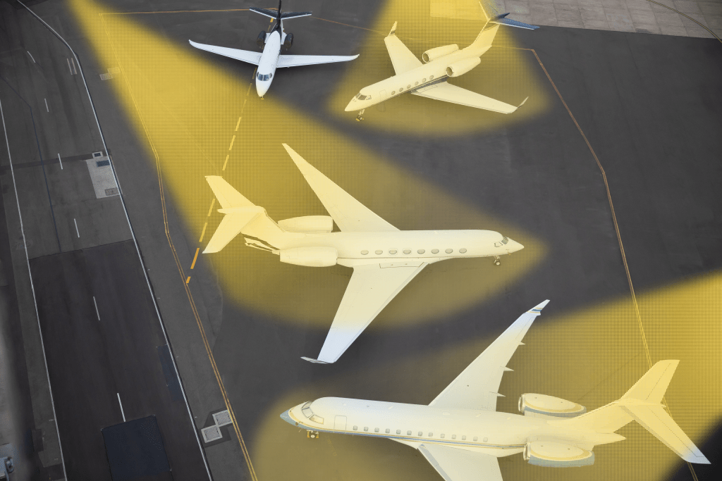
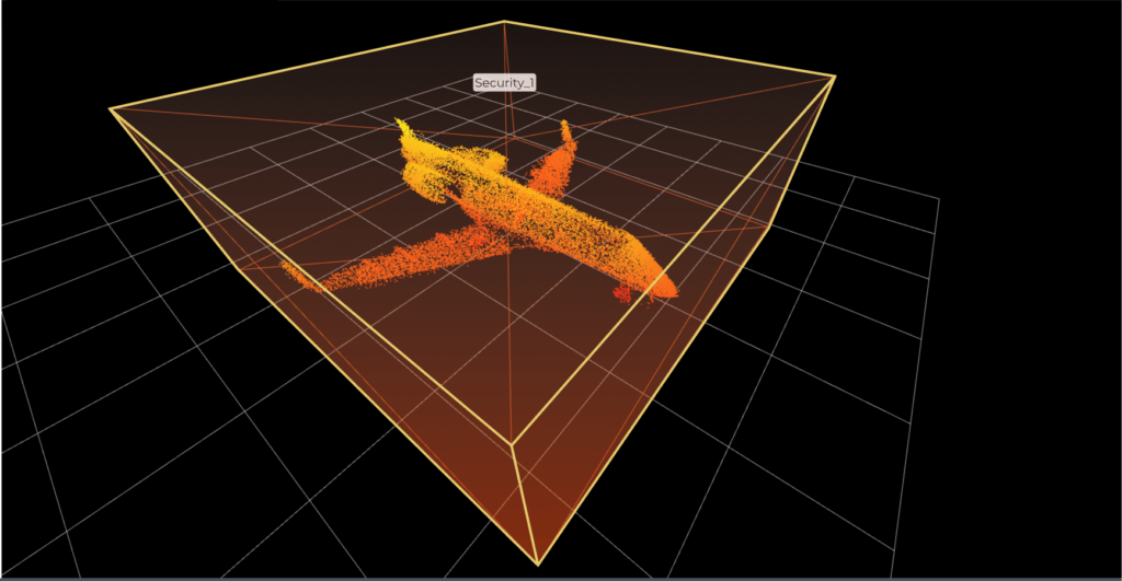
In this point cloud, a virtual protection zone is set up around the aircraft in the associated software. If an object exceeds the defined object size and is, therefore, a human intruder enters this zone, an alarm is immediately triggered, and security personnel is informed.
Due to the virtual nature of the solution and thanks to the software’s ease of use, the security zones can be customized depending on the parking position and size of the aircraft, providing valuable flexibility for airport operators.
Numerous other possible applications in airport perimeters
LiDAR solutions can also offer added value for airports beyond security issues. They detect, for example, which parking spaces are still available for aircraft, how long machines have been parked, or whether objects have been left behind during loading and unloading. However, the recording of aircraft dwell times is also interesting outside of the parking areas: LiDAR sensors can also measure how long aircraft wait on the runway until they can take off. This database can significantly increase the efficiency of airport operations.
Putting safety first
With a LiDAR-based security solution, parked aircraft are secured in an unobtrusive but highly reliable way. This protection of aircraft on the ground is just as crucial for the safety of all air travelers and employees as the security checks of passengers.
b

