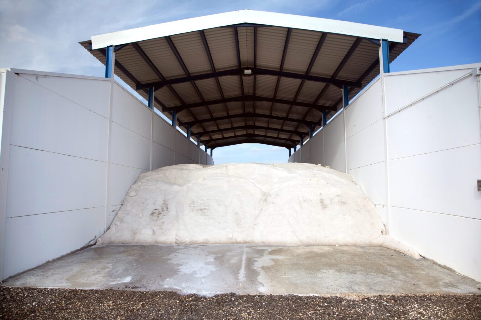
Effective road salt stockpile management is essential for transportation agencies, particularly during winter months when road conditions can be icy and snowy. Road salt plays a key role in public safety by lowering the freezing point of water, preventing ice formation, and aiding in snow melting. Depending on snowfall timing and conditions, salt is applied in different forms—either as dry salt before snowfall or as brine during and after—to keep roads safe and passable.
Proper road salt stockpile management ensures de-icing materials are available when needed, contributing to safer road conditions and minimizing accidents. Efficient salt management can also impact agency budgets by avoiding costly shortages or over-purchasing. With precise stockpile measurement technology, agencies can address shrinkage due to environmental conditions, mismanagement, or moisture, ultimately optimizing their winter operations.
Modern Road Salt Stockpile Management
Transportation agencies now have significant opportunities to improve their road salt stockpile management. Traditional methods, which are often manual and labor-intensive, have room for improvement. Historically, agencies have relied on:
- Manual Measurements: Estimating stockpile volume using tools like measuring sticks, which can be inaccurate.
- Visual Estimates: Subjective assessments leading to inconsistent data.
- Labor-Intensive Techniques: Methods like trigonometric calculations, while more precise, are time-consuming and prone to error.
By adopting modern technologies, agencies can achieve accurate stockpile measurements, reducing waste and ensuring sufficient reserves during winter operations. Shrinkage from environmental exposure makes reliable measurement methods essential for maintaining efficient salt management.
Continuous and Reliable Stockpile Monitoring
Automated road salt stockpile management technology can offer continuous and reliable monitoring, providing agencies with:
- Optimized Inventory Management: Real-time stock level data for better storm planning, ensuring sufficient supplies without over-purchasing.
- Accurate Ordering: Reliable stockpile measurements minimize the risk of shortages during extreme winter conditions.
- Reduced Labor: Automated measurements allow personnel to focus on critical tasks like road maintenance and salt application.
With shrinking budgets and growing environmental concerns, adopting automated stockpile measurement technologies like LiDAR helps agencies find an efficient balance between public safety and resource use.
3D LiDAR Technology in Salt Stockpile Measurement
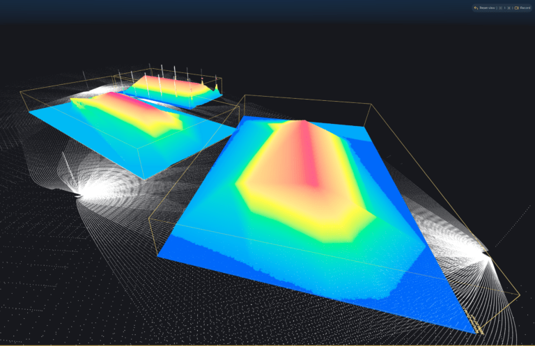
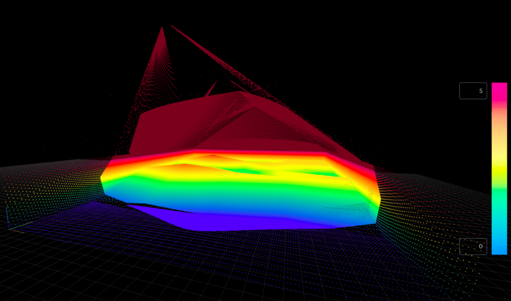
LiDAR (Light Detection and Ranging) technology revolutionizes road salt stockpile management with continuous, automated, and highly accurate measurements. Unlike traditional methods prone to human error, LiDAR uses laser pulses to create detailed 3D models of stockpiles, delivering real-time volume data. This allows agencies to monitor their salt reserves proactively and efficiently.
- Real-Time Insights: LiDAR continuously updates stockpile size and shape, enabling agencies to respond quickly to changes in inventory.
- High Accuracy: LiDAR minimizes discrepancies between recorded and actual stock levels, ensuring agencies maintain the right amount of road salt to promote road safety.
For agencies using brine as a pre-treatment or applying dry salt, accurate stockpile data enhances material planning and ensures smooth winter operations.
LiDAR vs. Traditional Methods
LiDAR operates by emitting laser pulses that reflect off stockpiles and return to the sensor, allowing for highly precise 3D models. When compared to traditional methods such as photogrammetry, radar, or manual measurements, LiDAR offers:
- Automation: Continuous, real-time data without manual input, especially valuable during winter operations.
- Superior Precision: Far greater accuracy than manual methods, ensuring agencies maintain precise stockpile data.
This high level of precision allows agencies to manage their salt stockpiles efficiently and react to changing weather conditions with confidence.
Analyzing LiDAR Data for Enhanced Insights
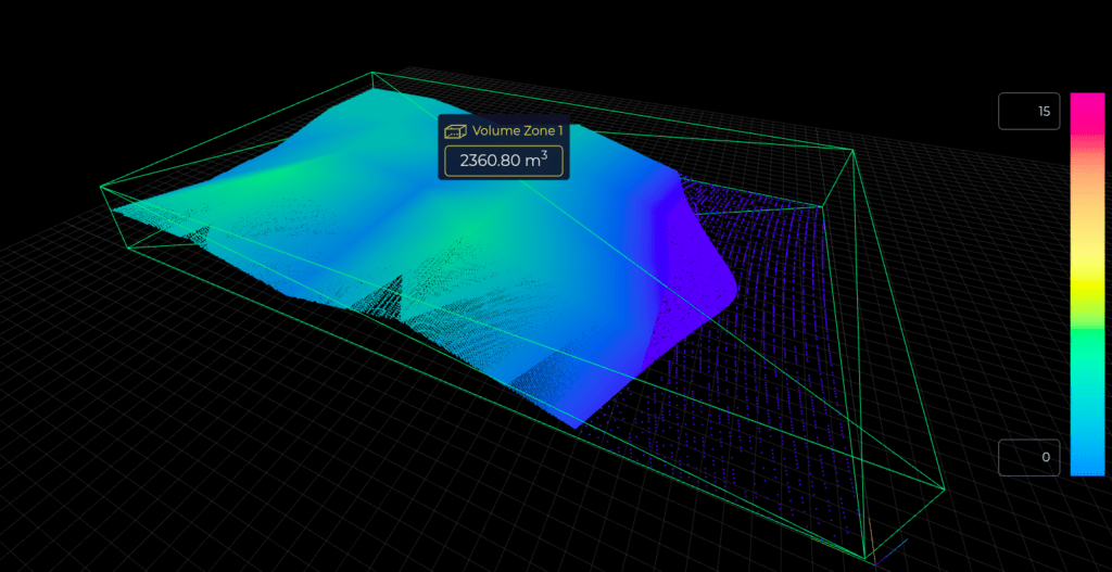
LiDAR data can also be analyzed for deeper insights. Specialized software processes the data to calculate key metrics like volume and tonnage, enabling agencies to:
- Optimize Resource Allocation: Plan salt distribution more precisely for specific weather events, improving pre-treatment and application efficiency.
- Ensure Consistency: Maintain steady salt supplies throughout winter, minimizing the risk of shortages during critical times.
- Increase Transparency: Gain full visibility over multiple stockpile sites for better coordination and resource management.
- Automate Reporting: Generate automated reports, ensuring decision-makers have up-to-date stockpile data for operational efficiency and safety.
Integration with Existing Systems
LiDAR integrates seamlessly with existing inventory management platforms, delivering real-time data that enhances winter operations. This integration automates procurement processes and improves resource management, allowing for faster response times to weather events.
Precise road salt stockpile management improves road safety
LiDAR technology offers a transformative solution for road salt stockpile management, providing the precision, automation, and real-time insights necessary for effective winter operations. By adopting this advanced measurement technology, transportation agencies can better manage de-icing materials, improve road safety, and optimize resource use, ultimately enhancing public safety and operational efficiency during winter months.

